
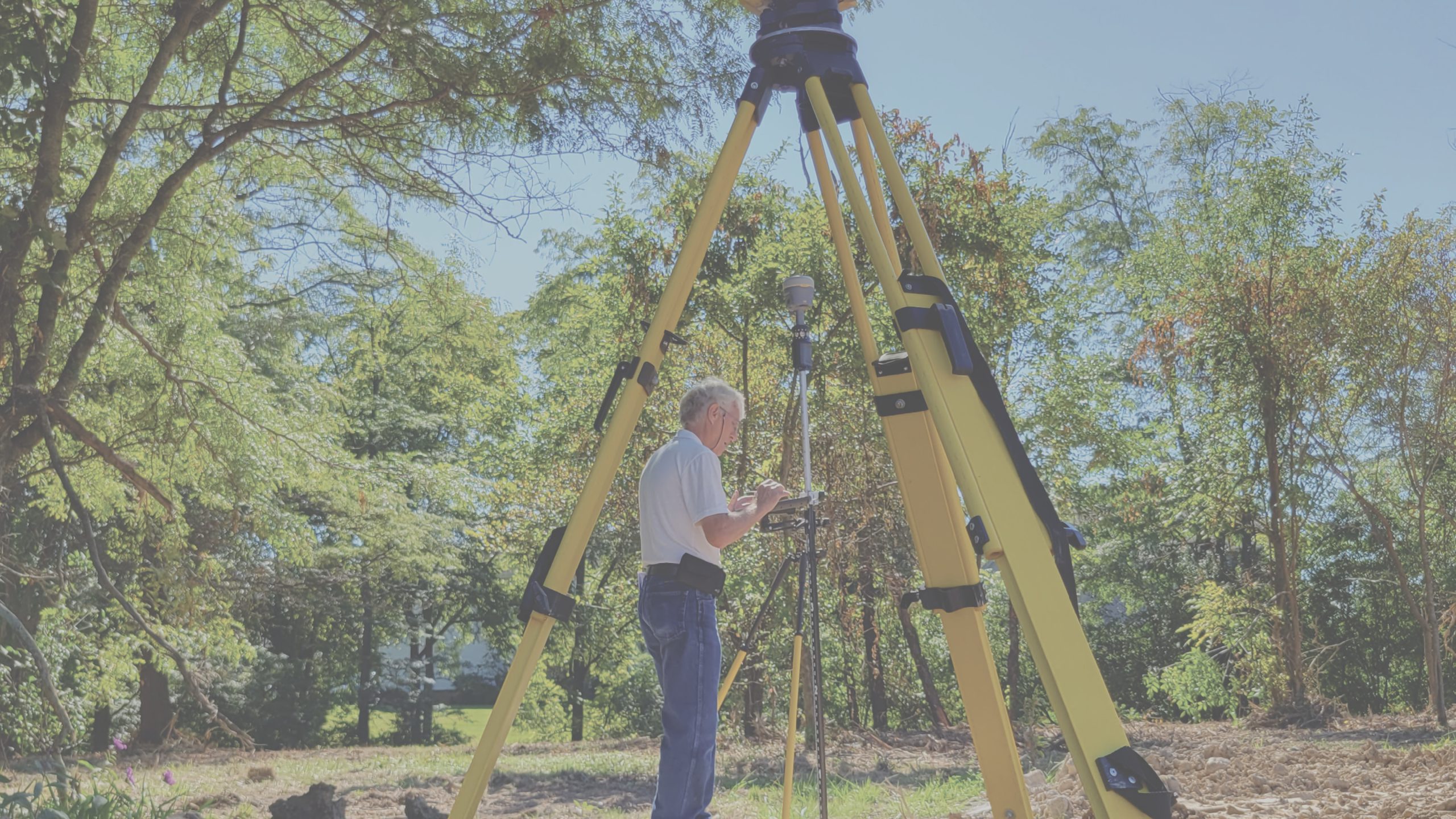
At The JDI Group, we provide comprehensive site infrastructure survey services that lay the foundation for successful project planning and execution. Our commitment to precision and accuracy ensures that every project starts with a solid understanding of the site conditions.
Our Process
- Comprehensive Data Collection: We use state-of-the-art surveying technology to gather detailed and accurate data about the site, including topography, boundaries, and existing infrastructure.
- Innovative Solutions: Our team of experienced surveyors and engineers employs innovative techniques to analyze the data and provide actionable insights for design and construction.
- Regulatory & Permitting Assistance: We help navigate local, state, and federal regulations, ensuring compliance with zoning, environmental, and land use requirements.
- Seamless Integration with Design Teams: Our survey data seamlessly integrates with architectural and engineering plans, reducing design conflicts and expediting project timelines
- Detailed Reporting: We deliver comprehensive reports and high quality visualizations that support informed decision-making and precise project planning.
Success Stories
City of Maumee
- Provided surveying, civil, and electrical engineering services to design the new roads, curbs, and sidewalks, as well as assist with the bid process to select a contractor to install the work for an extension of Maple Street from Fallen Timbers Drive to the Norfolk Southern railroad
- This project included a two-lane roadway, median islands for traffic calming, sidewalks, intermodal paths, street lighting, some public utilities (water, storm sewer, and sanitary sewer), and landscaping
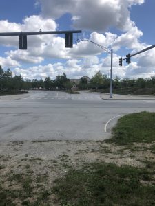
Before
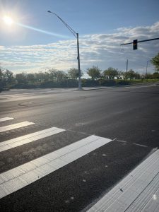
After
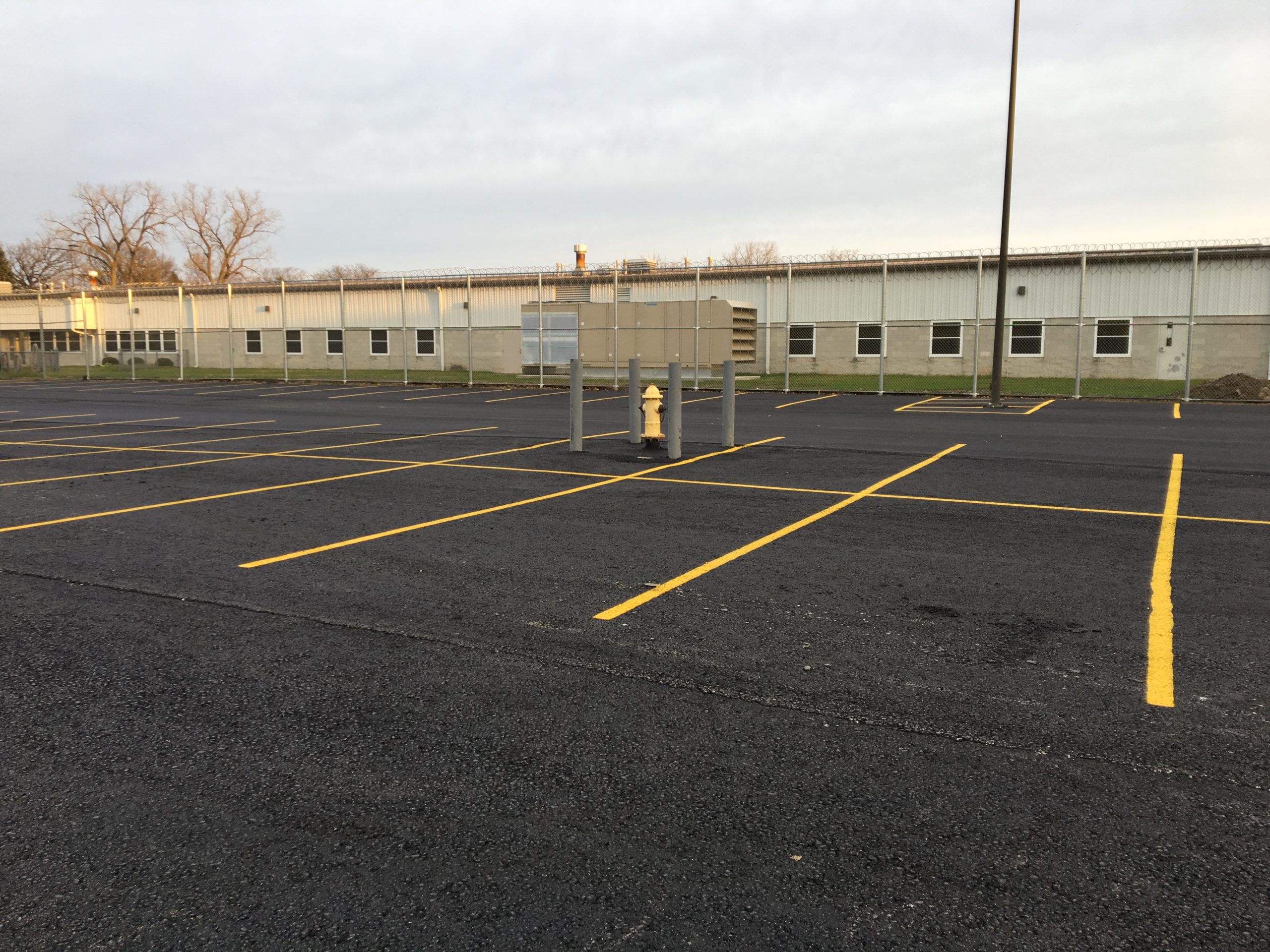
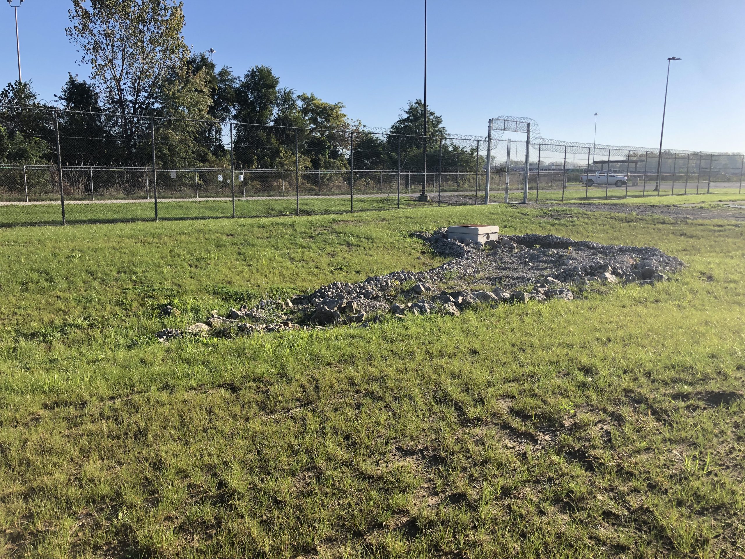
Ohio Department of Rehabilitation and Corrections
- Led the design for a 26,000 SF addition to the Lucas County Correctional Treatment Facility (CTF)
- Site design included a survey, existing pavement and parking evaluation, a new 40,000 SF parking lot, site utility extensions for water and sanitary, and stormwater and detention design
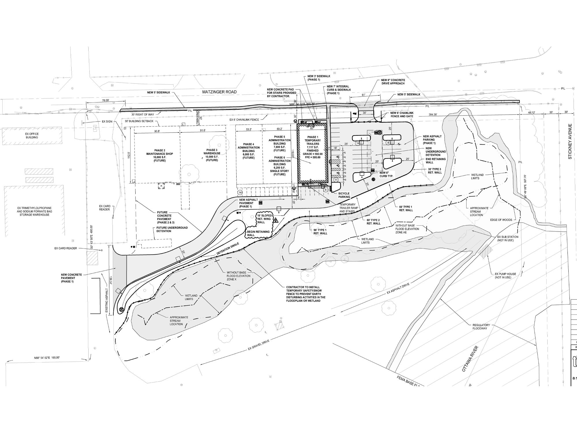
Perstorp Polyols, Inc.
- Provided surveying and civil design and engineering services to supply a permit-level drawing package for a new parking lot, drives, and support applications, enabling a location for ten temporary office trailers located to the east of the client’s existing main entrance
- Provided a stamped set of electronic drawings suitable for a building permit application and a grounding plan and details for the trailers
- Coordinated with Willscot on stairs, ramps, and utility connections and updated the existing site plans accordingly
- Plans were submitted for review to the City of Toledo for a minor site plan review and a flood plain development permit
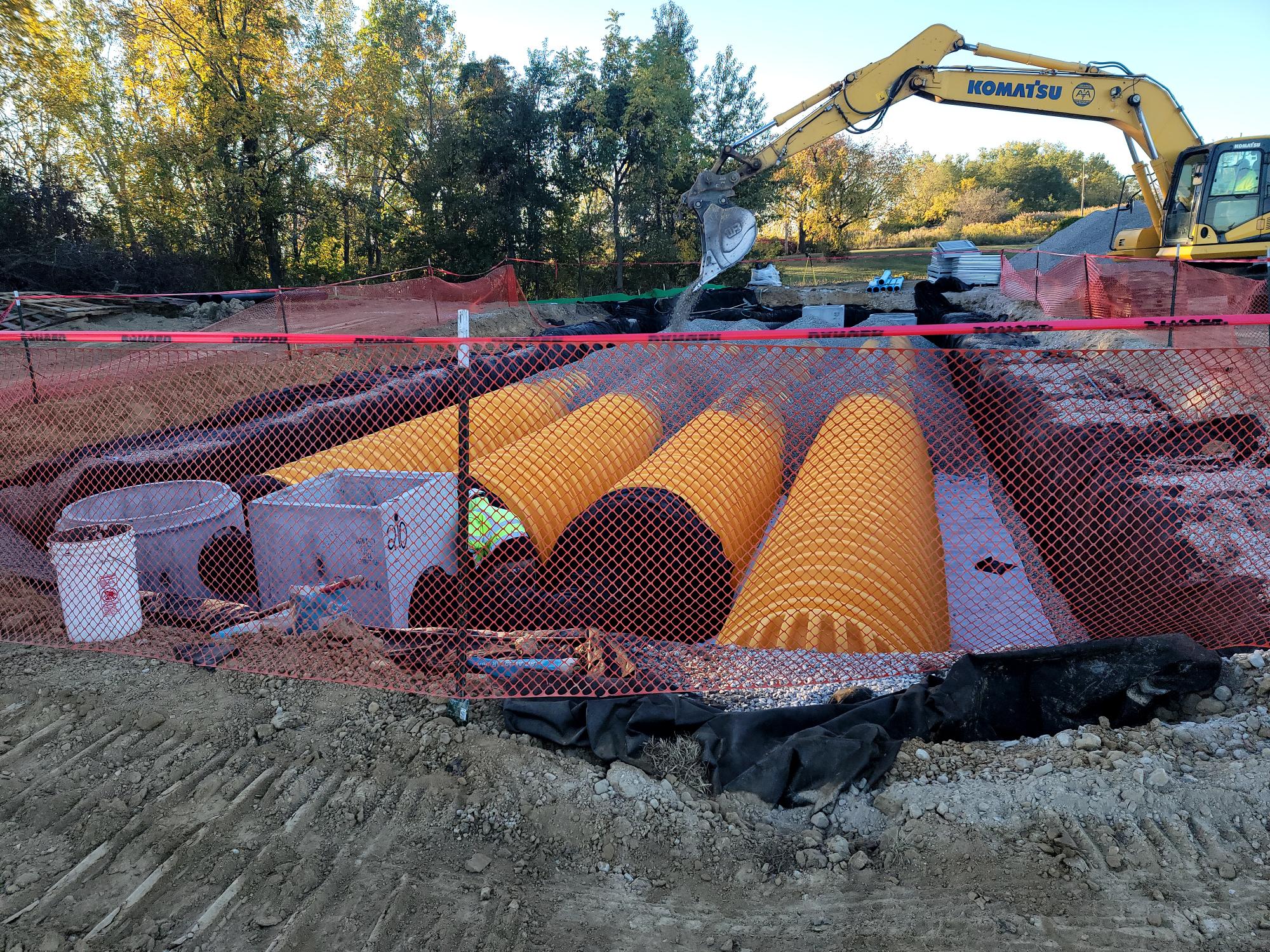
Subdivision Development
- Riverford Subdivision
- 6,600 LF of roadway and right-of-way development for a subdivision development, including surveying, horizontal and vertical roadway design, intersection design, storm drainage, sanitary sewer, and water line extension design
- Civil/site design for the extension of a residential subdivision (Plat XI) including 1,600 LF of road and sewers, a ravine culvert crossing, and a 2.5-acre wet detention/water quality pond serving the entire subdivision
- Silverbuck Subdivision
- 3,400 LF of roadway extension for a residential subdivision
- Surveyed and developed horizontal and vertical roadway design, intersection design and storm drainage, sanitary sewer, and
water line extension design
- Gleckler Homes, LLC
- Assisted with the civil design of sanitary, water, and associated EPA services for an eight-acre subdivision
- Provided a topo survey, EPA permitting for water and sanitary extensions, water and sanitary plans and profiles, storm design to outlet to an existing pond, roadway design, plan, and cross-section, SWP3, and rough grading plans
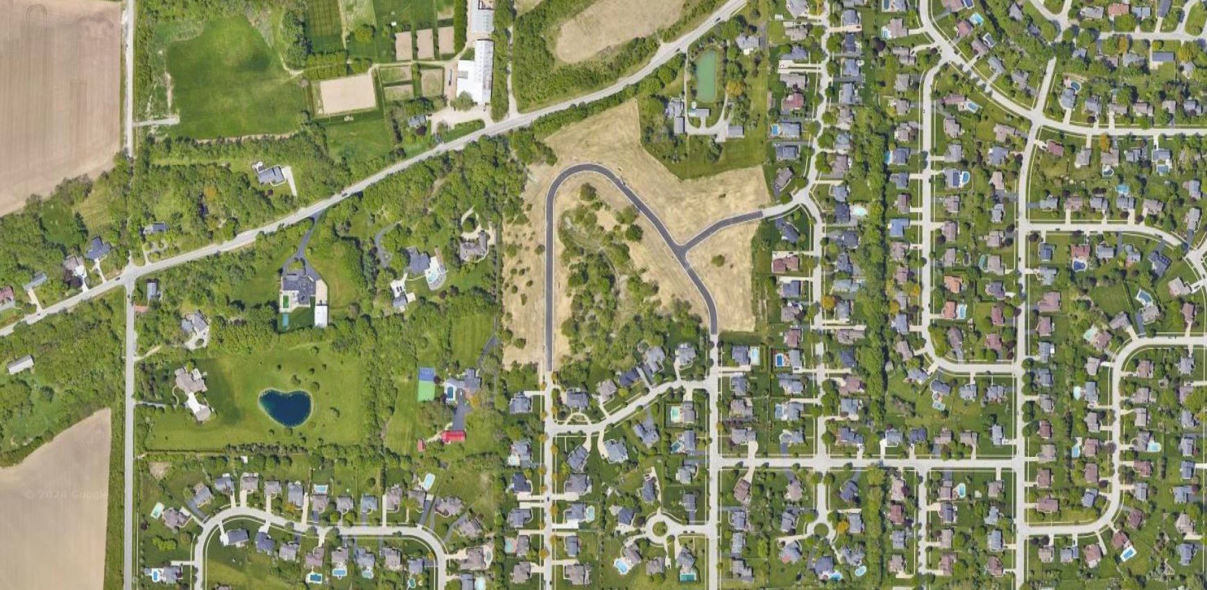
Residential Boundary Surveys
- Monclova Township, OH
- Performed the field and office work necessary to research and determine the parcel boundaries for a new residence
- Prepared a survey drawing, including verifying all information on the provided plot plan/grading plan, and updated the house footprint to match the provided preliminary foundation plan
- Marked the property boundary and the location of the building setback line for the client
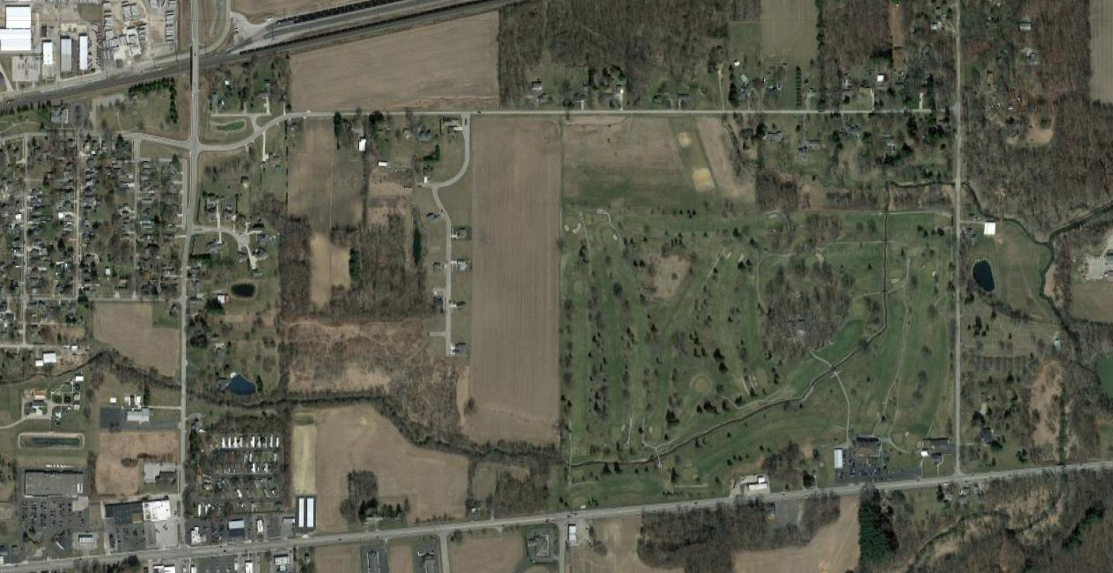
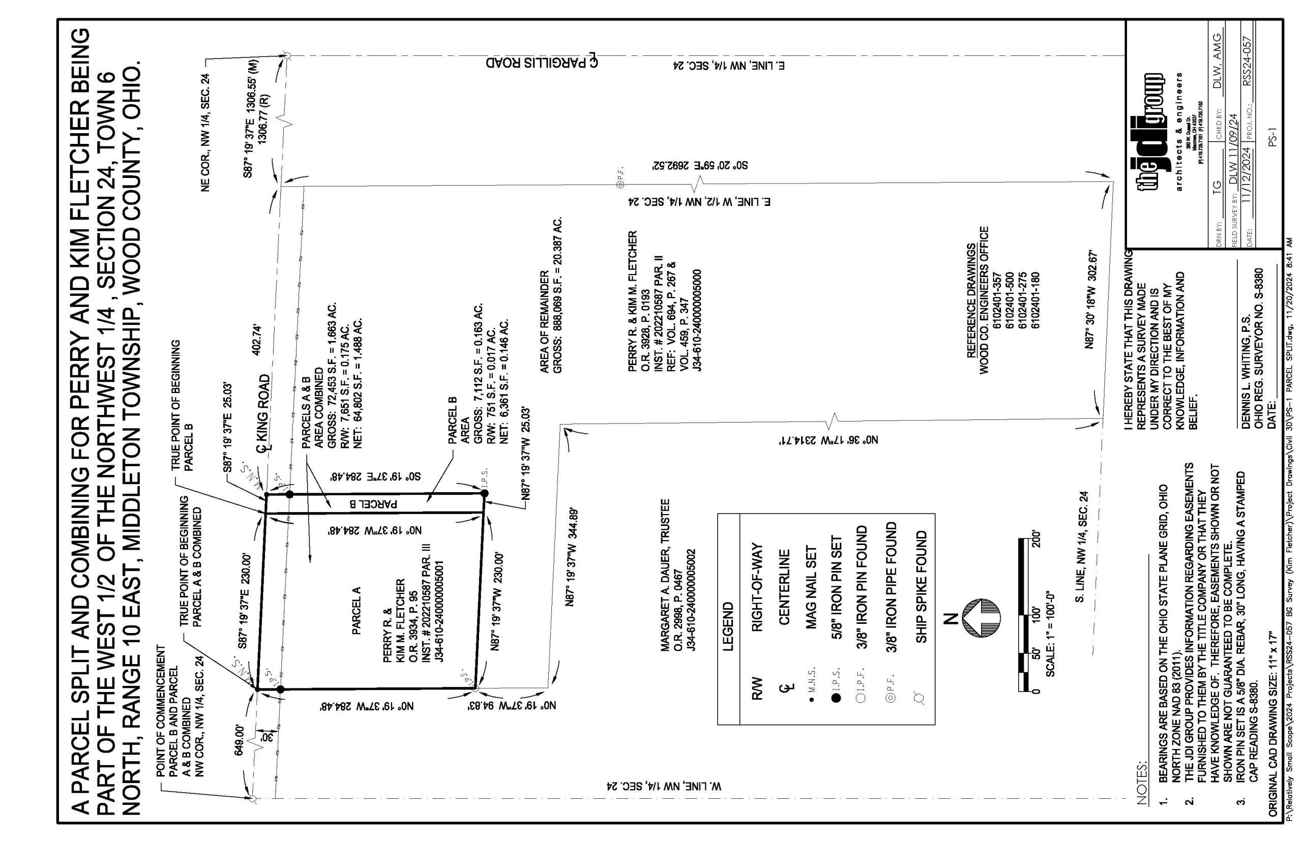
- Bowling Green, OH
- Researched the two parcels owned by the client to complete the field work necessary to find/set pins in the corners of the new and remainder parcels
- Provided a drawing and a legal description of the redefined parcel so the client could have them reviewed and recorded by Wood County
- Toledo, OH
- Completed a topographic survey in order to create a site plan and SWP3 plan per the city’s requirements
- Designed a storm water detention, site grading, and a site layout plan, as well as provided specifications and details
Why JDI?
Founded in January 2002, The JDI Group (JDI) is a multi-disciplinary firm with shared resources, ready to support the architectural and engineering design of your project. Our mission is to turn our clients’ visions into working realities that address their wants and needs while exceeding their expectations.
- Architecture / Interior Design
- Civil Engineering / Surveying
- Structural Engineering
- Mechanical Engineering – Facilities
- Mechanical Engineering – Process
- Chemical Engineering
- Electrical Engineering
- IT Managed Services
- Project Management Services
